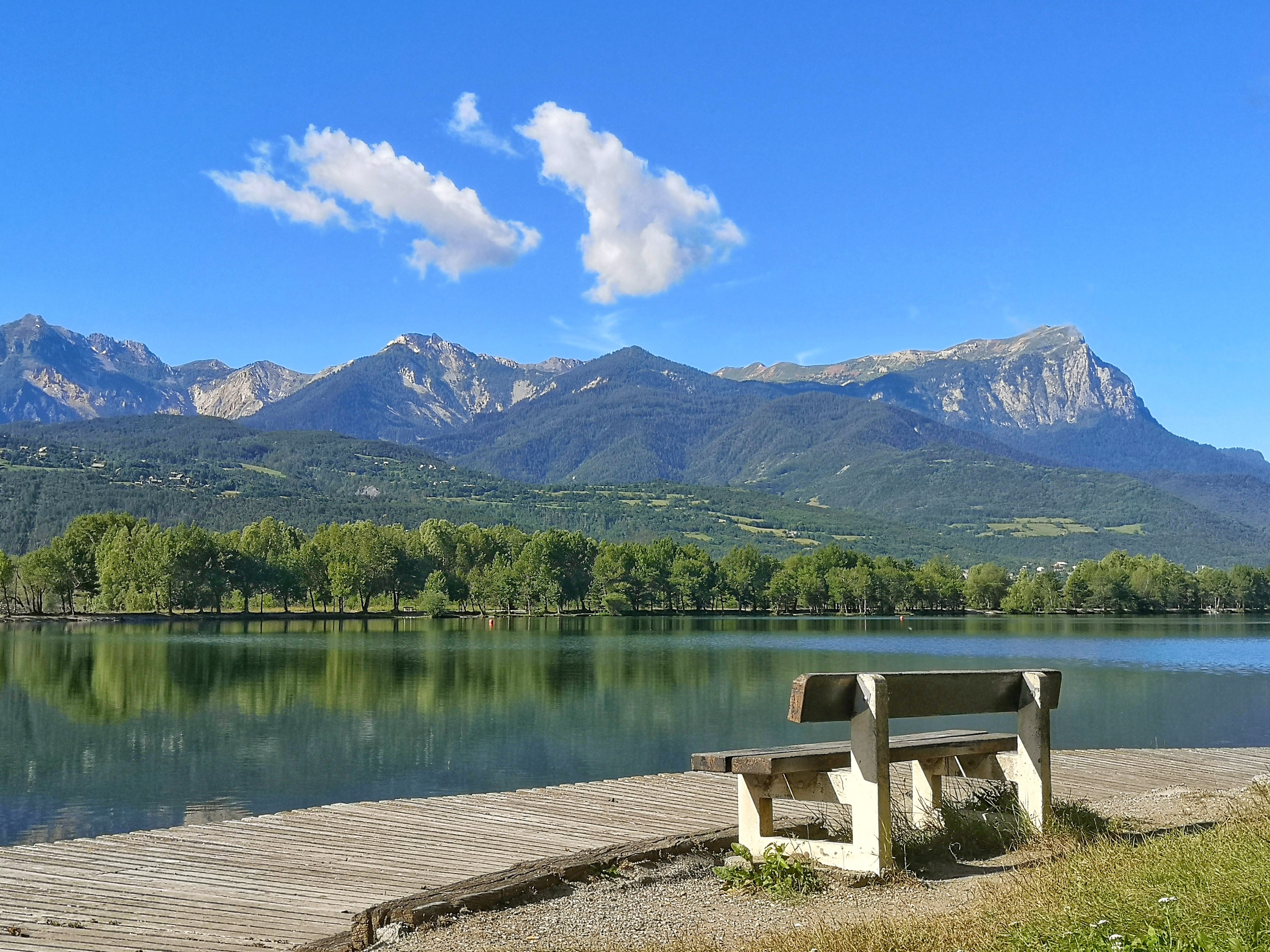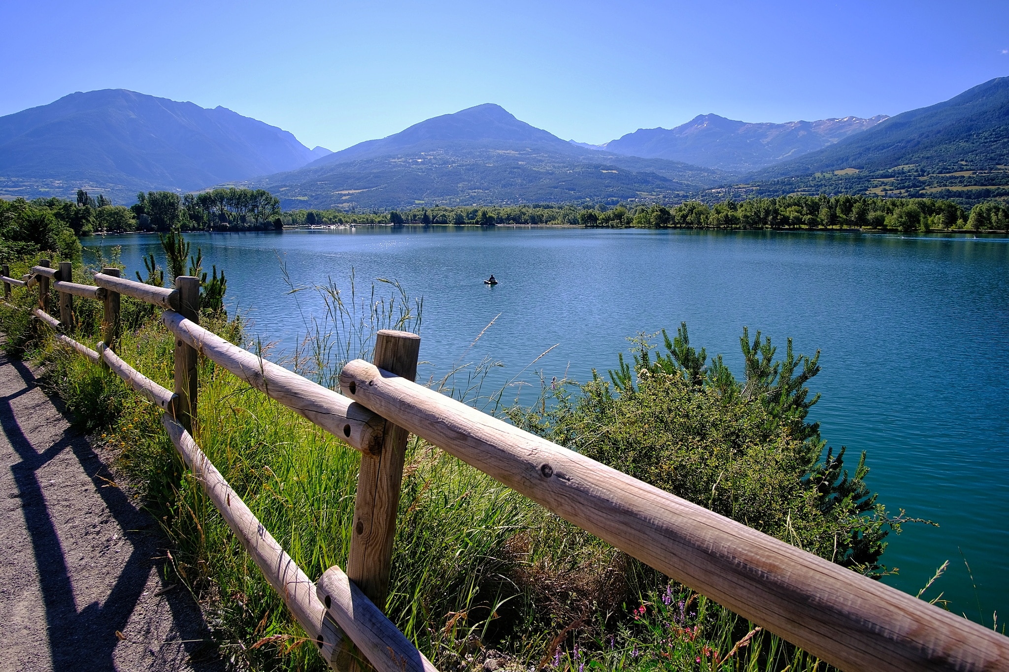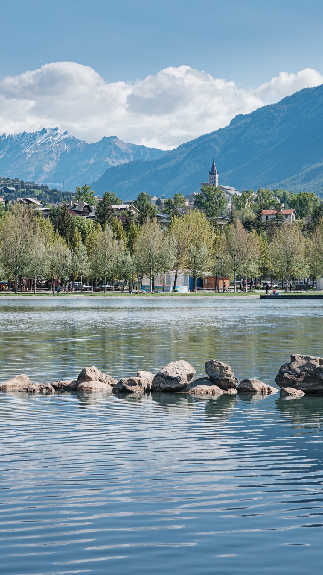
Embrun lake
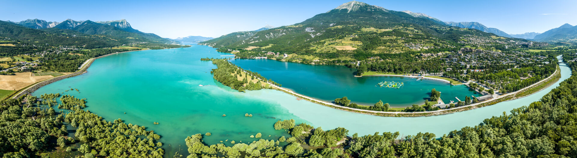
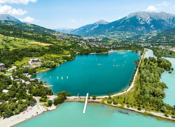
The Plan d'Eau d'Embrun is just 2km from Embrun town center, separated by a dike from the Lac de Serre-Ponçon, where the River Durance flows into the lake. The Plan d'Eau d'Embrun is Embrun's main tourist attraction! The perfect place to relax!
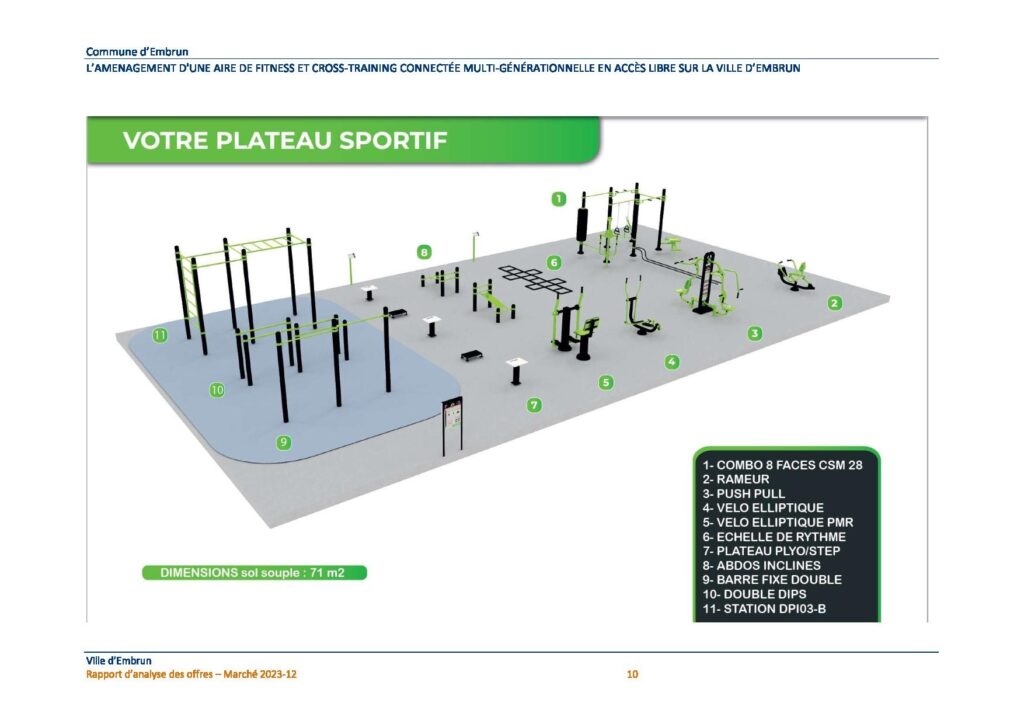
New from 1st quarter 2024 and free access:
your street workout area
(between the pool and tennis courts)
What to do in Embrun?
Ideal for families:
- Shaded, grassy beaches with showers and toilets. The public beaches ("Plages Nord") have been awarded the Blue Flag since 2015. Bathing is supervised in July and August.
- Shaded parking lot and parking spaces reserved for the disabled.
- Playgrounds and petanque areas.
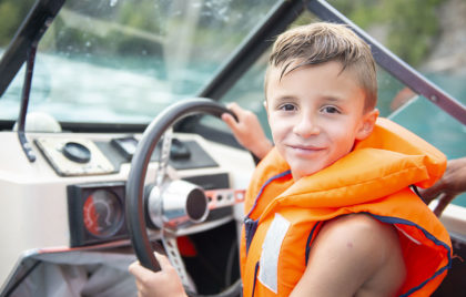
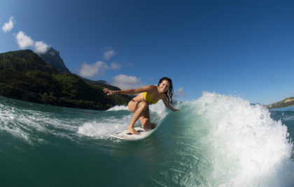
- Water sports and a variety of leisure activities.
- Bars, restaurants, shops and campsite.
- The surface area of the lake is 27 hectares.
- The reservoir is guaranteed by a water intake on the Durance, on the Plaine du Roc agricultural drain (which is a natural flood zone) and on the Sainte Marthe torrent.
- A pleasant path, aptly named "Au Fil de l'Eau", winds around the lake (2.6 km ). Also nearby is the plain beneath the Roc.
Activities at Embrun lake :
- Club Nautique Alpin de Serre-Ponçon : Sailing school, rentals, accommodation
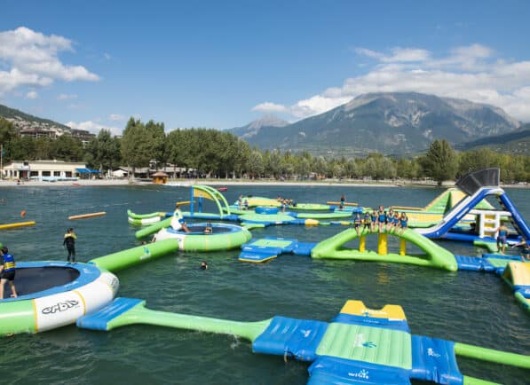
- Aqua Parc Embrun: inflatable water park
- Club Canoë-Kayak Eau Vive Embrun: kayaking, rafting, canorafting courses
- Balado Plan d'eau: rosalies and pedal go-karts for hire
- Alpes 2 Roues: bike rental, repair, store
- Airland: inflatable structures
- The Bidibulle Merry-Go-Round
- Mini Golf du Plan d'eau
- Aqua viva aquatic center
- Le Cagnard water sports center
- Tennis club Embrunais
- Segway tour
- Embrun Rowing Club