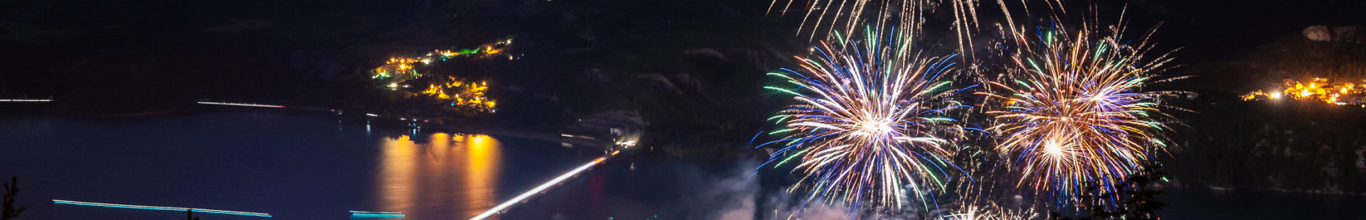
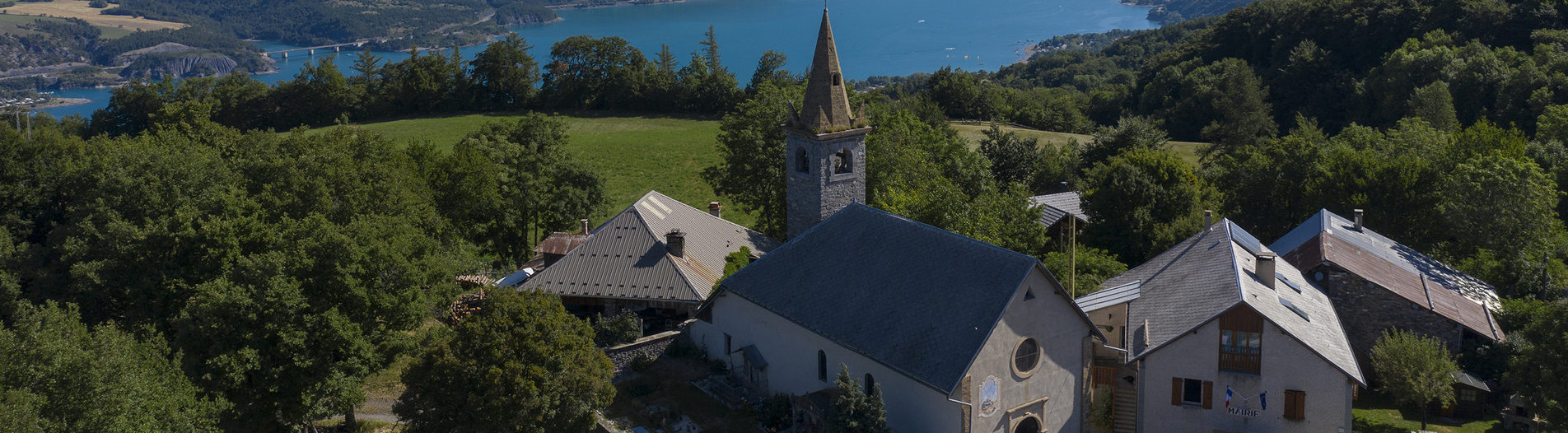
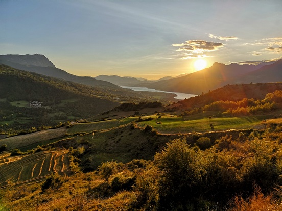
Our villages
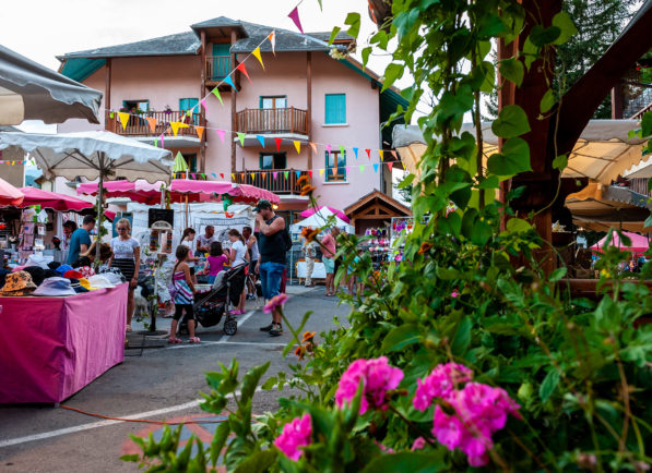
BARATIER
The origins of human activity here go back a long way: a Bronze Age dagger found on the Pouzenc above the village, and a Roman villa called Clapier des Monges. Over time, the village has developed along the Vachères torrent, whose whims have given rhythm to the daily life of the Baratons.
- Surface area: 1,490 hectares | Altitude: 850m | Postal code: 05200
- What the natives are called : Baratons / Baratonnes
- Services: restaurants, hotels, campsites, furnished rentals, markets
- Labels: Pays d'Art et d'Histoire
- Hiking ideas: Boucle de la Mure and Boucle de Plat Aiguille
- ♡ Natural and cultural points of interest: Monges hut, Liou riparian forest, Saint-Chaffrey church
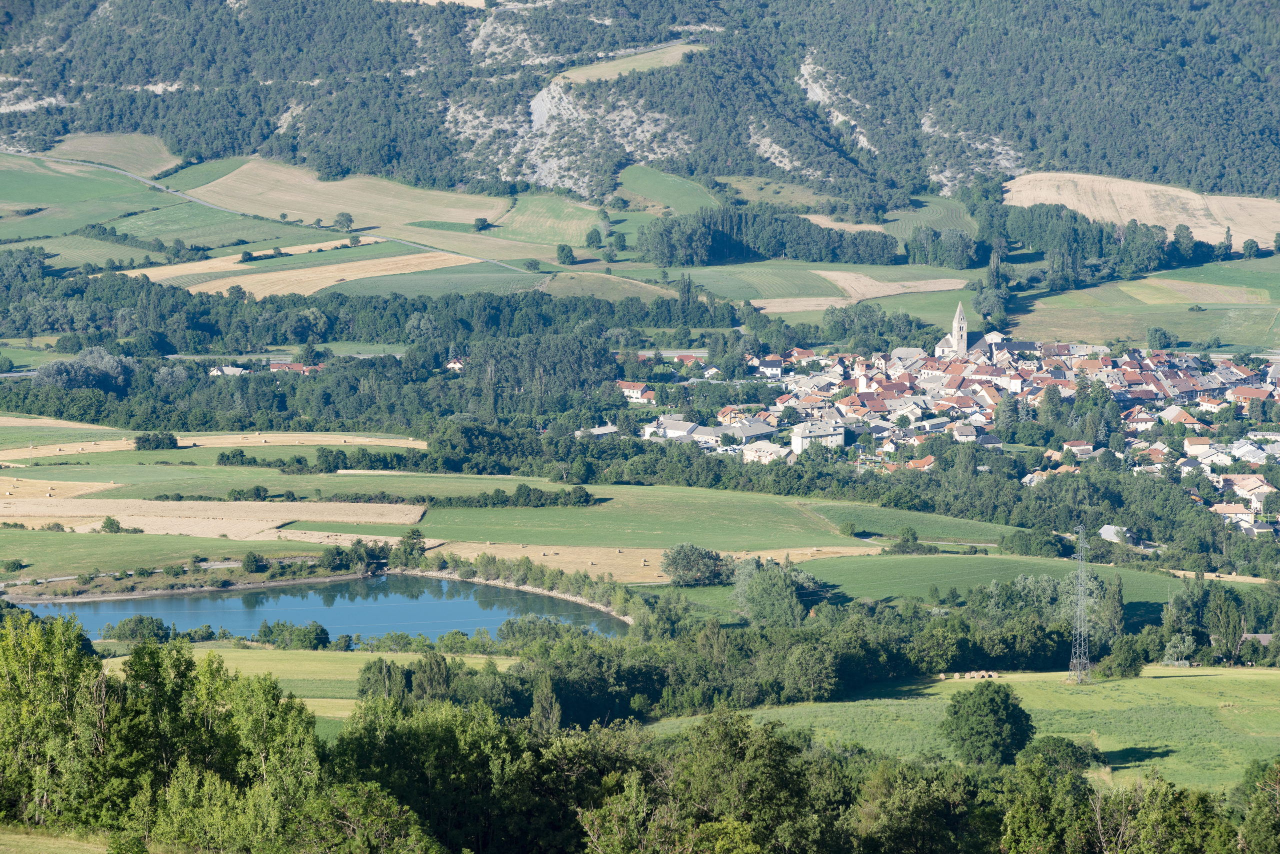
CHÂTEAUROUX-LES-ALPES
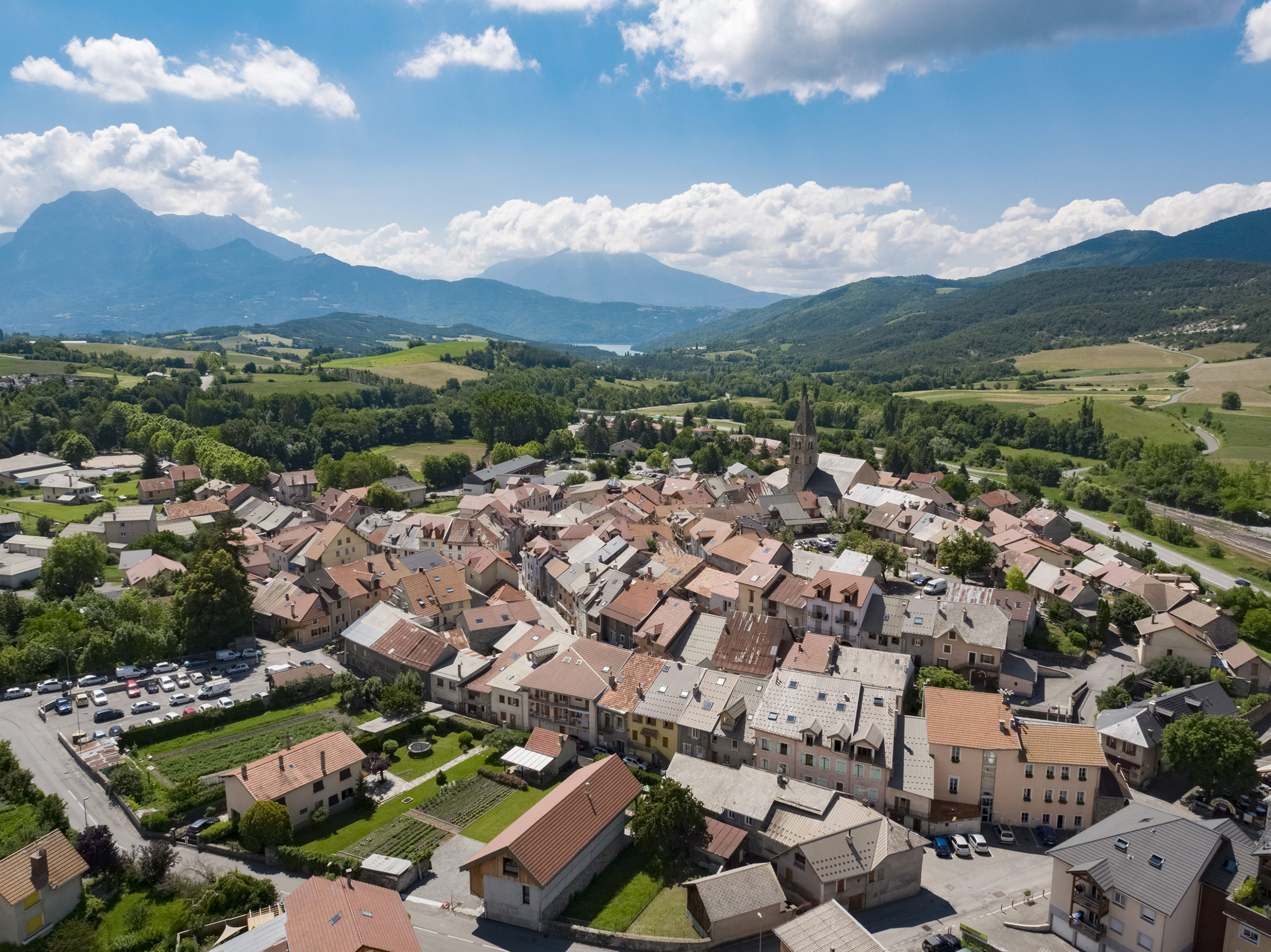
The village's territory stretches from the banks of the Durance to the summit of the Tête de Vautisse (3,156 m altitude). Mentioned as far back as the 12th century, the settlement of the village has been organized over time around the main communication routes: from the Roman road to the N94 trunk road!
- Surface area: 9,284 hectares | Altitude: 990m | Postal code: 05380
- Inhabitants' names: Châteauroussins / Châteauroussines
- Services: restaurants, accommodation, markets on Tuesdays in July and August.
- Labels: Pays d'Art et d'Histoire, Ecrins National Park membership area
- Hiking ideas: Pisse waterfall, Tourettes pass
- ♡ Natural and cultural points of interest: La Pisse waterfall, Rabioux wave, glacial moraine, Ecrins National Park House.

CHORGES
Chorges owes its name to the Caturiges, a Celtic tribe who took advantage of the village's strategic location on the Via Domitia Roman road to develop trade. Today, Chorges retains this privileged location, and has been awarded the status of a stopover village.
- Surface area: 5,735 hectares | Altitude: 860m | Postal code: 05230
- Inhabitants' names: The Caturiges
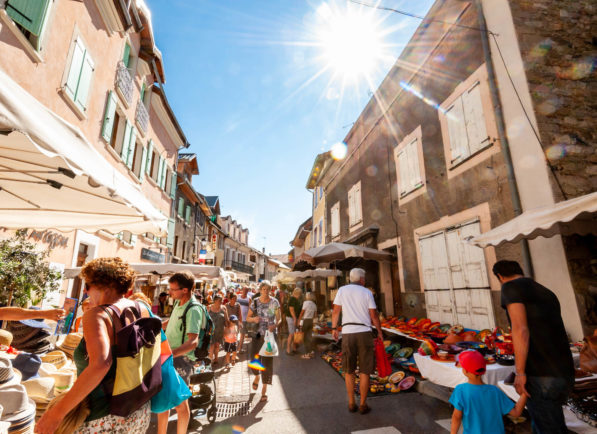
- Services: restaurants, accommodation, shops, Sunday markets year-round, night markets on Wednesdays in July and August.
- Labels: Village Etape, Station Verte, Pavillon Bleu, Ville Fleurie
- Hiking ideas: Les Curattes, Chorges village link > Baie St Michel, Col de la Gardette
- ♡Natural and cultural points of interest: Piolit - Pic de Chabrières: Natura 2000, Chorges marsh, St-Victor church, Chanteloube bridge

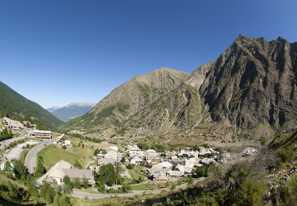
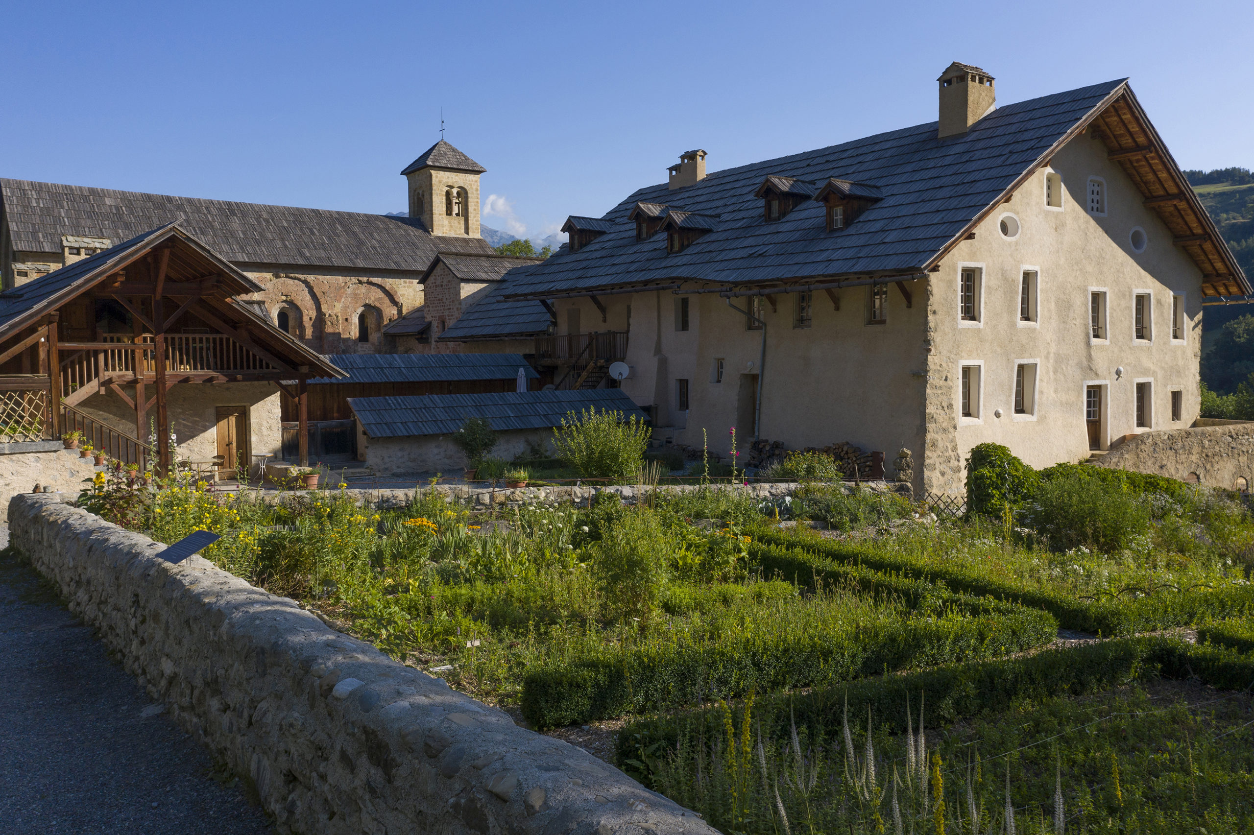
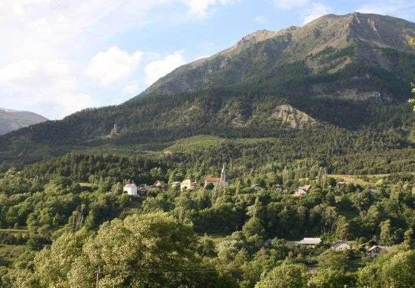
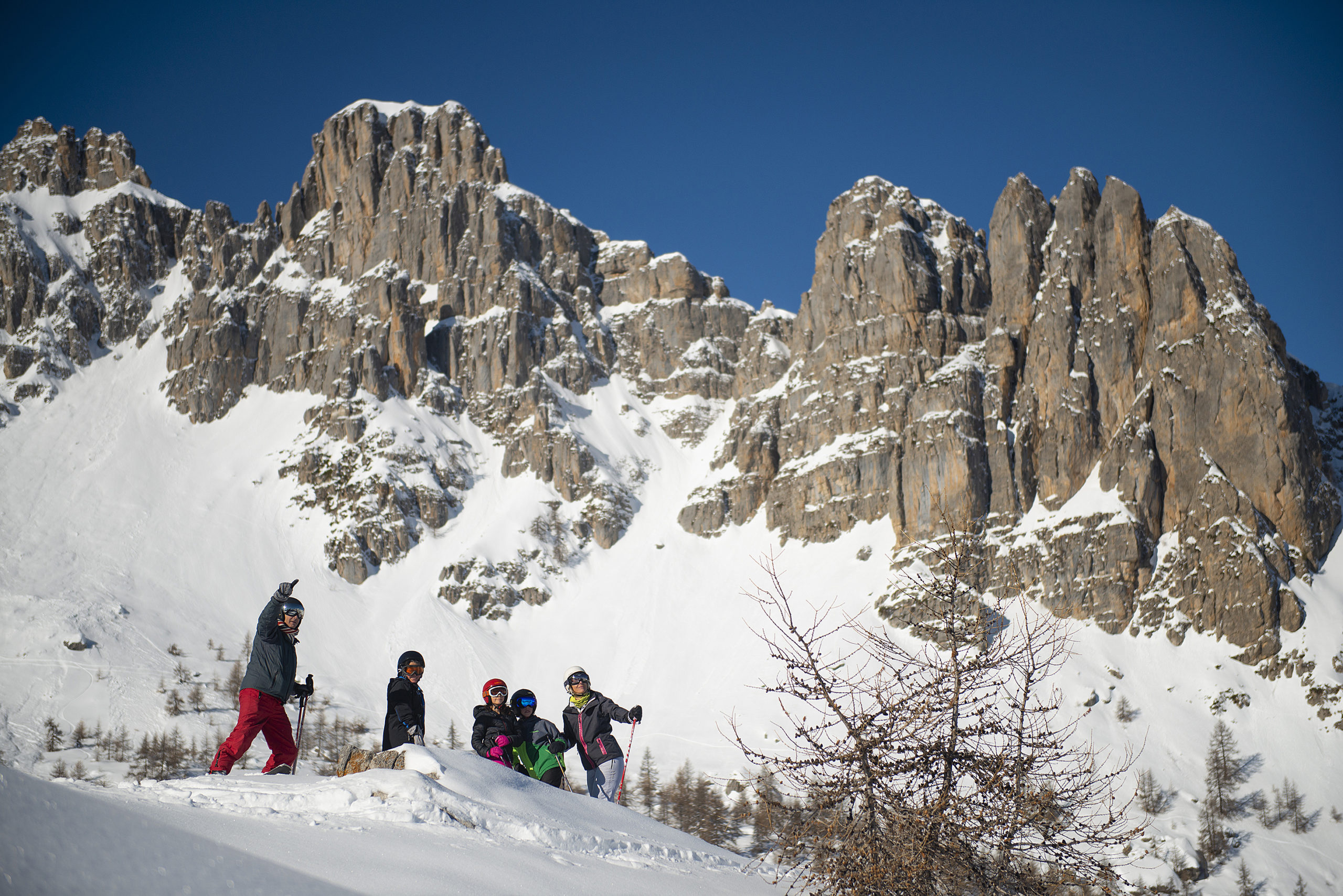
CREVOUX
A small mountain village, Crévoux was one of the first ski resorts in the Hautes-Alpes as early as 1937.
- Surface area: 5,626 hectares | Altitude: 1600m | Postal code: 05200
- What the natives are called : Crévolins / Crévolines
- Services: restaurants, accommodation, local producers, crafts, downhill and cross-country ski resorts
- Labels: Pays d'Art et d'Histoire
- Hiking ideas: Razis waterfall loop, lac du crachet
- ♡ Points d’intérêts naturels et culturels : la cascade de Razis, la grotte du Drac, tunnel du Parpaillon, cabane des Espagnols, église Saint-Marcellin, Chapelle de La Chalp


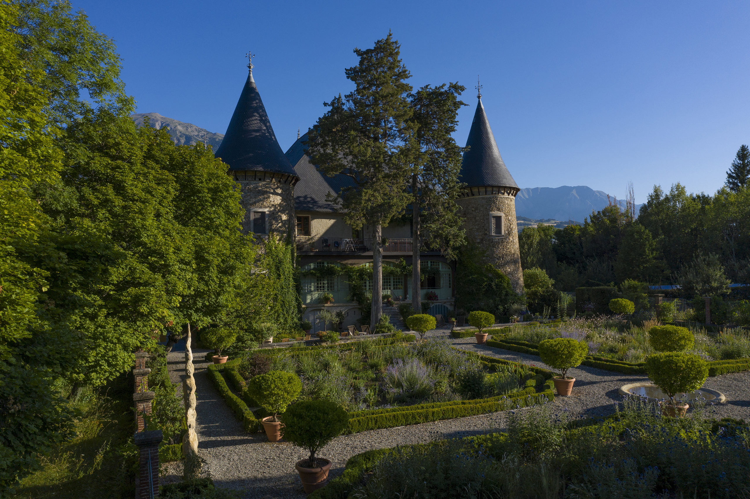
CROTS
Originally called "Las Crôtas" in local dialect (vaulted cellars), the village of Crots still bears witness to its rich past: Boscodon Abbey, Château de Picomtal, charcuterie museum.
- Surface area: 5,669 hectares | Altitude: 790m | Postal code: 05200
- What the natives are called : Crétorins / Crétorines
- Services: restaurants, accommodation, fitness trail, night markets on Mondays and Thursdays in July and August.
- Labels: Pavillon Bleu, exceptional forest, Pays d'Art et d'Histoire, Ecrins National Park membership area
- Hiking ideas: Le Pic de Morgon, le sentier des fourmis, Lac du Lauzerot, Domaine de la Draye
- ♡ Natural and cultural points of interest: Forêt de Boscodon, cirque de Bragousse, cirque du Morgon, Abbaye de Boscodon, Château de Picomtal, charcuterie museum,

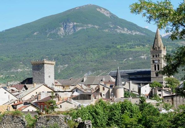
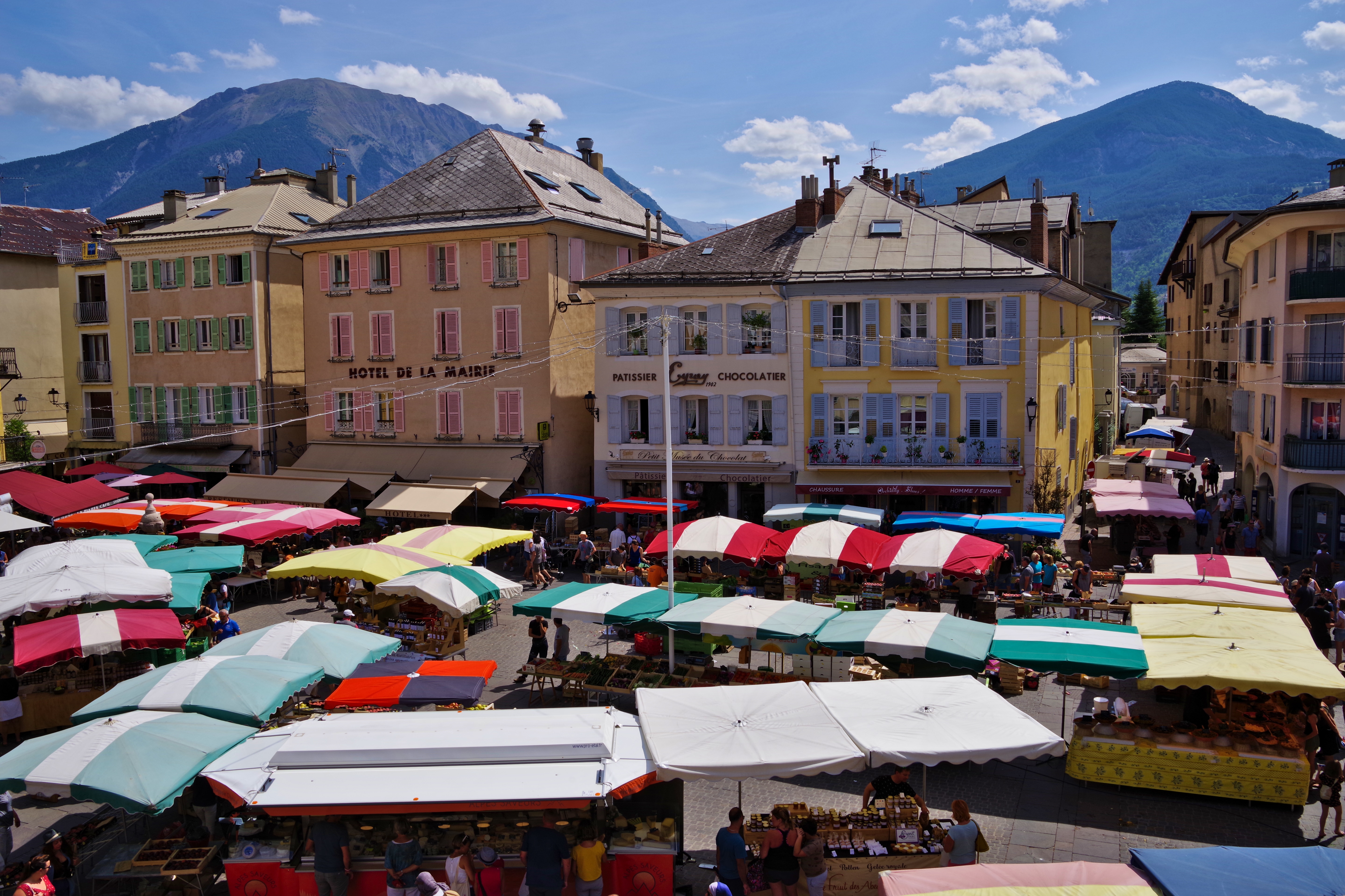
EMBRUN
Perched on its rocky outcrop, this former archiepiscopal city boasts a remarkable architectural heritage. The quality of its climate has earned it the appellation "Little Nice of the Alps". Since the creation of the nautical base on the lake adjacent to Serre-Ponçon, a multitude of outdoor activities are available to residents and visitors alike.
- Surface area: 3,639 hectares | Altitude: 880m | Postal code: 05200
- Inhabitants' names: Embrunais / Embrunaises
- Services: restaurants, accommodation, markets on Wednesdays and Saturdays all year round.
- Labels: Pays d'Art et d'Histoire, Pavillon Bleu, ville fleurie, Ecrins National Park membership area
- Hiking ideas: Mont Guillaume, tour of the plaine du roc
- ♡ Natural and cultural points of interest: Notre-Dame-du-Réal cathedral, Brune tower, Embrun rock, Embrun town center, Embrun lake.
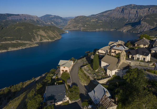
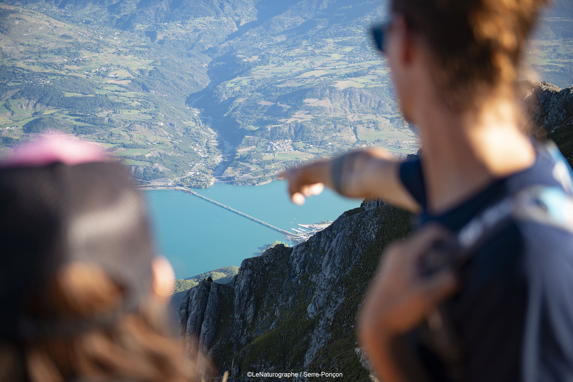
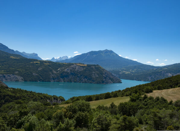
LE SAUZE DU LAC
The village of Sauze-du-Lac overlooks the junction of the Ubaye and Durance rivers just upstream from the Serre-Ponçon dam. The view of the dam from its belvedere is breathtaking!
- Surface area: 1,490 hectares | Altitude: 1050m | Postal code: 05160
- Services: restaurants, accommodation...
- Labels: Pays d'Art et d'Histoire, Village Fleuri, Pavillon Bleu
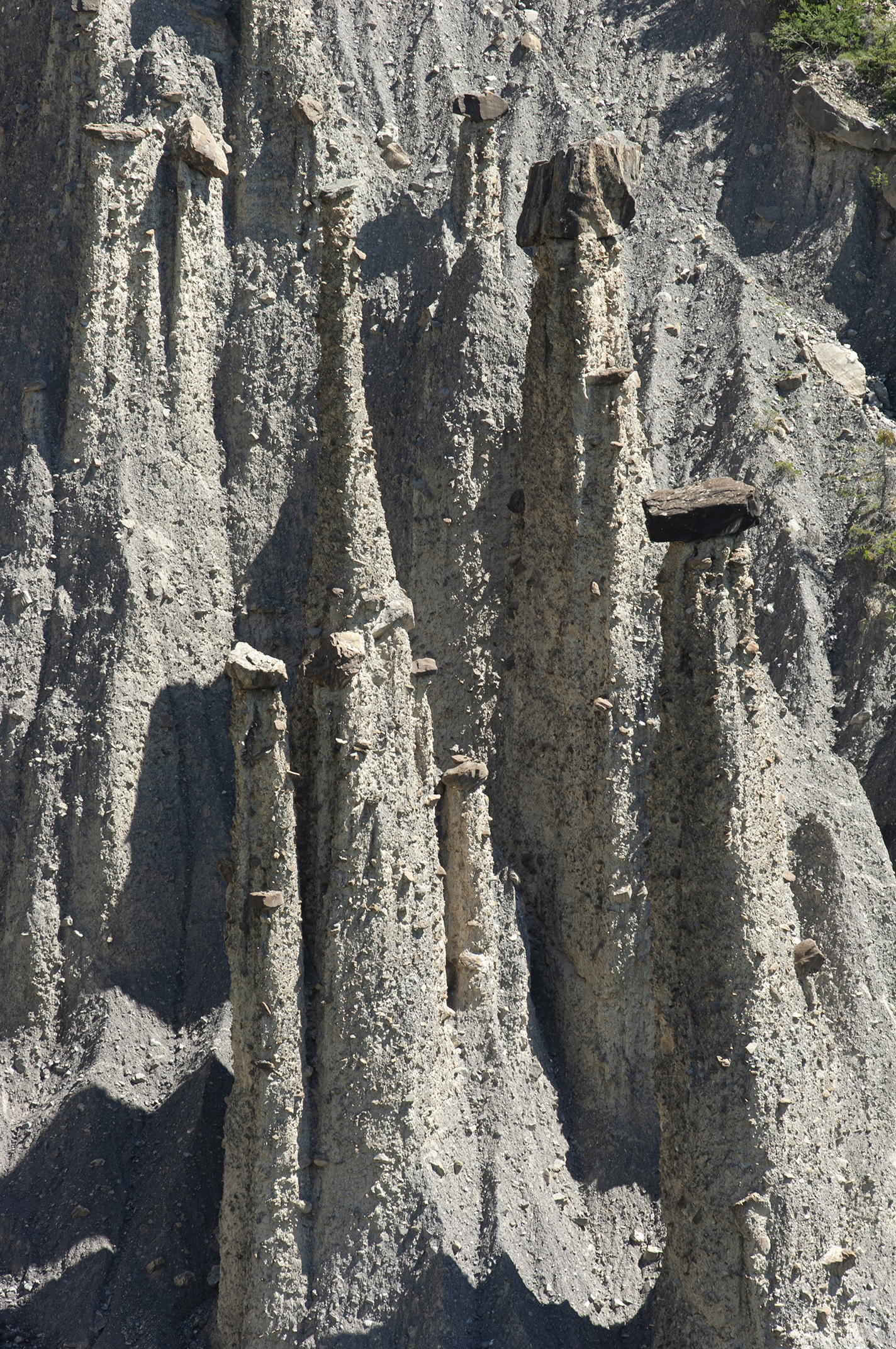
- Hiking ideas: les balcons du lac trail, demoiselles coiffées trail, port saint Pierre trail
- ♡ Natural and cultural points of interest: Belvedere, Saint-Martin chapel, les demoiselles coiffées, Sainte-Martine church.
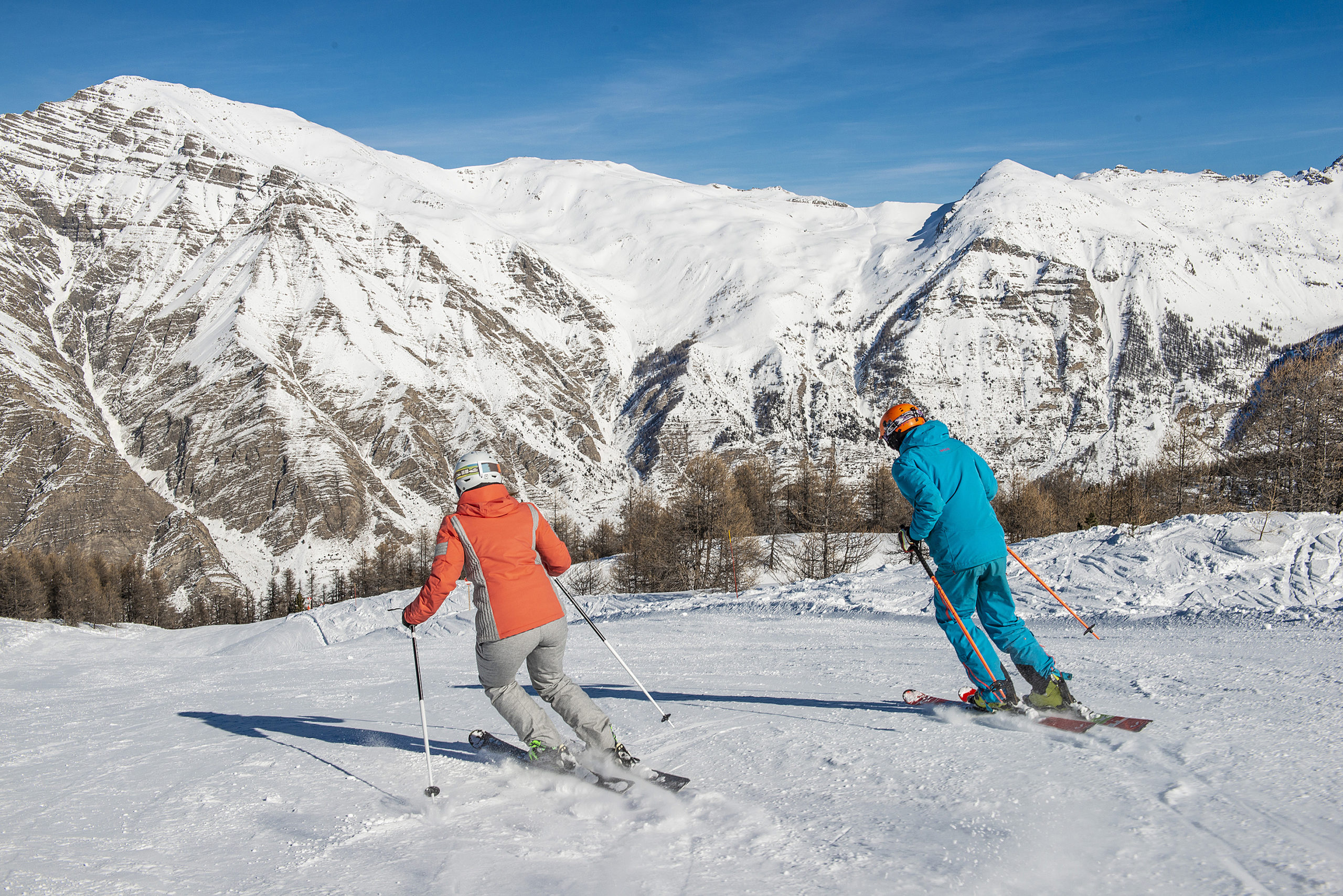
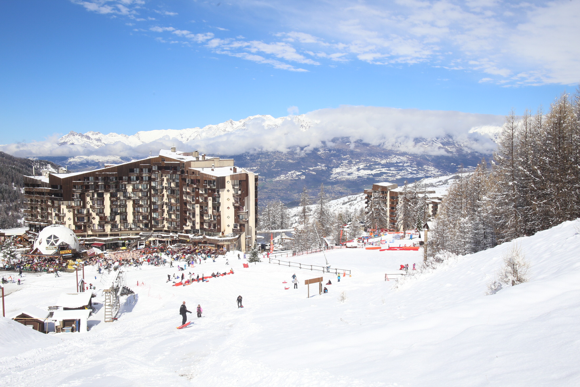
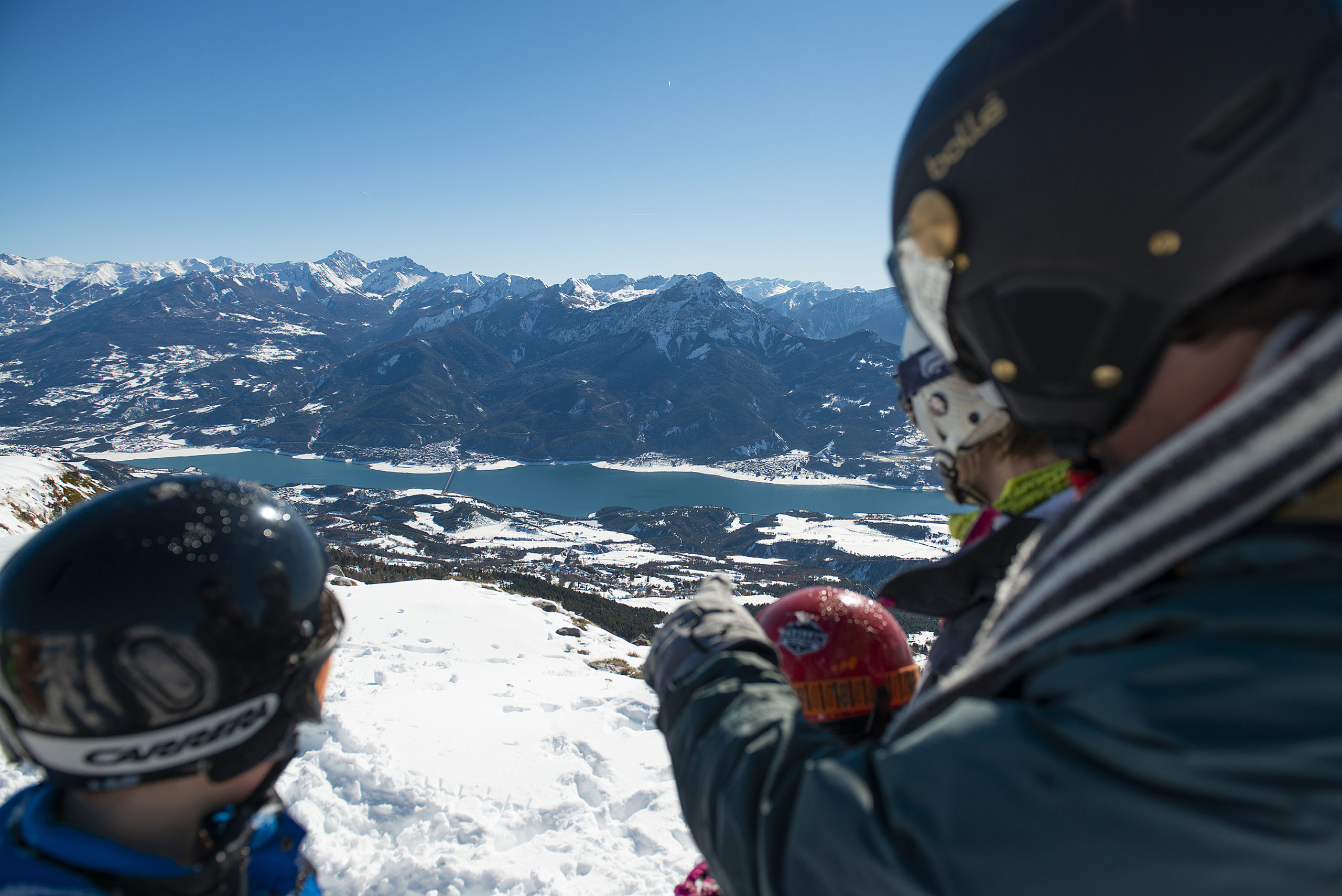
LES ORRES
Situated between 1550m and 2720m, Les Orres has benefited from the tourist boom: on the adret side, the authenticity of the original village, on the ubac side, the modernity of the winter sports resort.
- Surface area: 7,479 hectares | Altitude: 1550m | Postal code: 05200
- What the natives are called : Orrians / Orrianes
- Services: restaurants, accommodation, summer markets on Tuesdays.
- Labels: Pays d'Art et d'Histoire, Patrimoine du XXème siècle, starred village, famille + (family +)
- Hiking ideas: Lac Sainte-Marguerite
www.lesorres.com - www.mairie-lesorres.fr
PONTIS
Pontis, derived from the Occitan pountis, refers to a bridge over a stream. Given its geographical location, this name was predestined: Pontis was situated on a communication route between Dauphiné and Provence. Today, Pontis is in the Alpes-de Haute-Provence département.
- Surface area: 1,411 hectares | Altitude: 1,115m | Postal code: 05160
- Names of inhabitants: Pontissois / Pontissoises
- Services: accommodation.
- Labels: Pays d'Art et d'Histoire
- Hiking ideas: Tour du Morgonnet, tour de Pontis and its beech forest, Col de Pontis by bike.
- ♡ Natural and cultural points of interest: valley museum, l'ubac church, l'adroit church, beech grove, Villard dolmen.
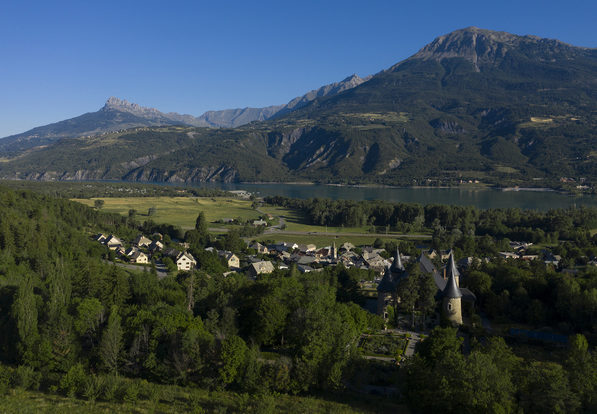
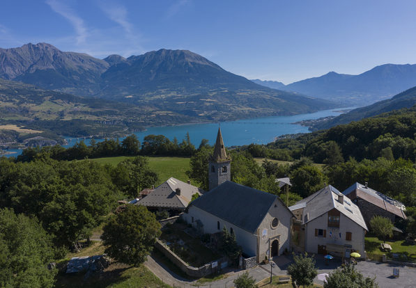
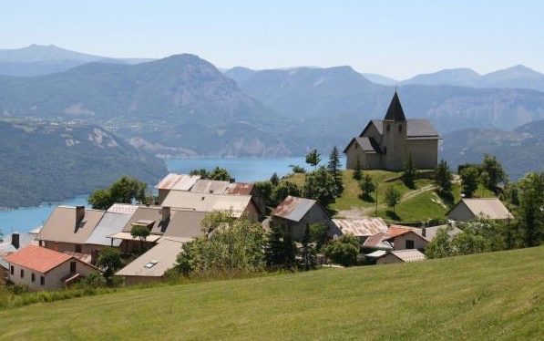
PRUNIÈRES
Before the lake was impounded, Prunières was an exclusively agricultural community. Today, it is a residential and tourist commune. Prunières is also home to the Hautes-Alpes' most photographed site: the Chapelle Saint-Michel.
- Surface area: 1,512 hectares | Altitude: 990m | Postal code: 05230
- What the natives are called : Toupins / Toupines
- Services: accommodation, Tuesday night market in summer.
- Labels: Pays d'Art et d'Histoire, Ecrins National Park membership area
- Hiking ideas: Sentier de la baie Saint-Michel (Saint-Michel Bay Trail)
- ♡ Natural and cultural points of interest: Chapelle Saint-Michel
PUY-SANIÈRES
Rural village at the foot of Mont Guillaume, with breathtaking views over Lac de Serre-Ponçon.
- Area: 1,138 hectares
- What the natives are called : Puisatins / Puisatines
- Services: accommodation.
- Labels: Pays d'Art et d'Histoire, Ecrins National Park membership area
- Hiking ideas: GR Tour of Lac de Serre-Ponçon
- ♡ Natural and cultural points of interest: The communal oven in the hamlet of Le Serre, the communal oven in the hamlet of Les Bouteils, Saint-Pierre church
PUY SAINT-EUSÈBE
Like its neighboring village, "Les Puys" indicates a high place, and in the case of Puy-Sanières and Puy Saint-Eusèbe, a perched village.
- Surface area: 1,131 hectares
- Services: accommodation.
- Labels: Pays d'Art et d'Histoire, Ecrins National Park membership area
- Hiking ideas: Lac Brun, Col de Reyssas
- ♡ Natural and cultural points of interest: The church with its 16th-century Pieta stained glass window (listed), A special feature: the 3 stained glass windows on the south facade were made by 3 volunteers from the commune, the bread ovens located in the hamlet of Eglise and the hamlet of Villard.
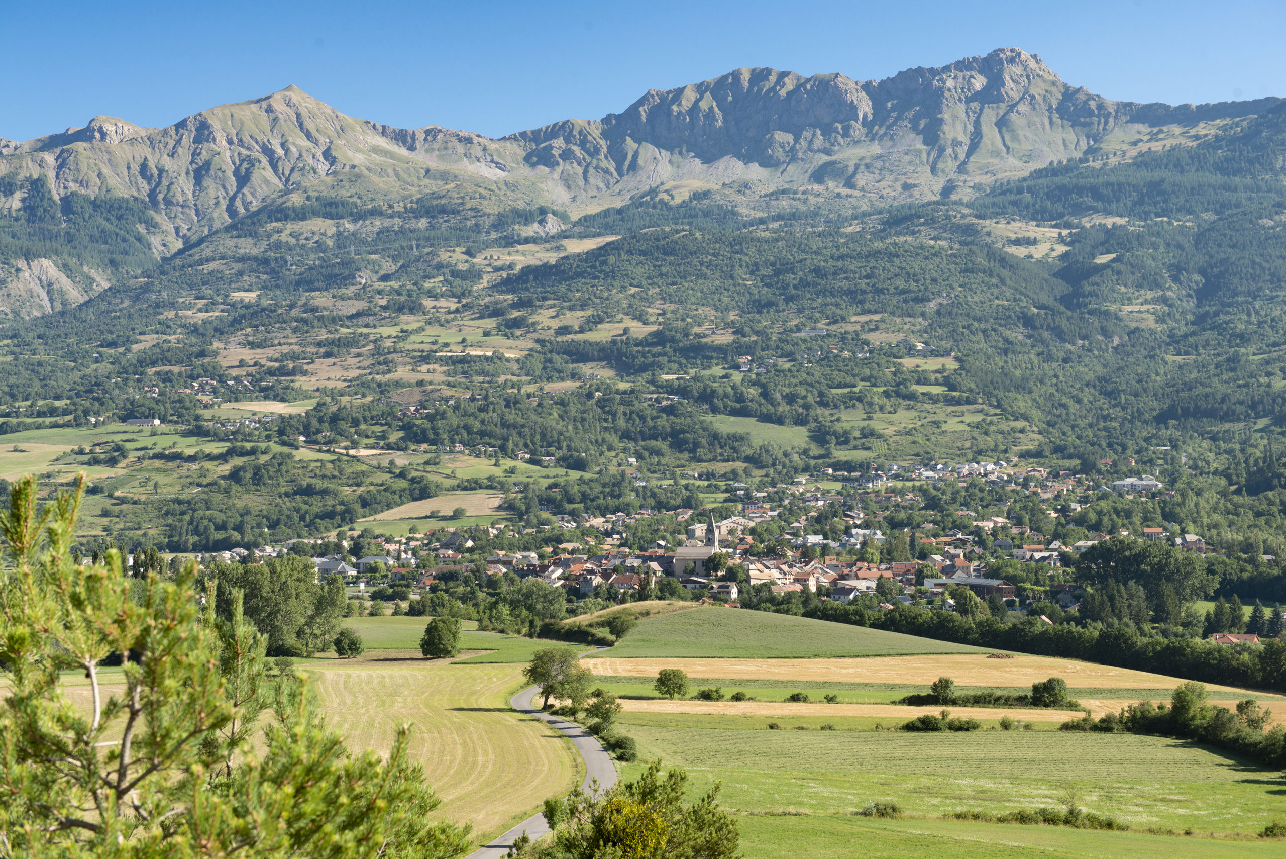
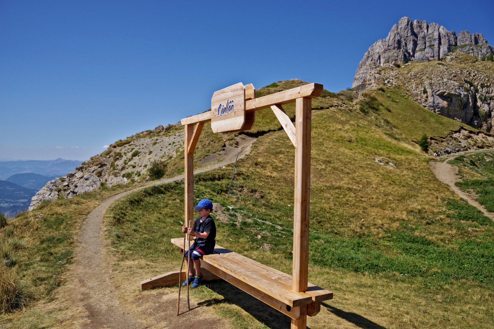
RÉALLON
At the gateway to the Ecrins National Park, on the adret slope of a valley where the eponymous torrent flows. The winter sports resort is located on the Pra Prunier mountain pastures, at the foot of the Aiguilles de Chabrières (2403 m) and on the balcony of Lac de Serre-Ponçon.
- Surface area: 714 hectares | Altitude: 1,400m | Postal code: 05160
- Names of inhabitants: Réallonais / Réallonaises
- Services: restaurants, accommodation, downhill and cross-country ski resorts
- Labels: Pays d'Art et d'Histoire, Ecrins National Park, Southern Alps village resort
- Hiking ideas: Chargés hut, Coupa pass, Chabrières needles
- ♡ Natural and cultural points of interest: La marmite des géants, Réallon fort, Ecrins National Park
SAINT-APOLLINAIRE
A small rural commune, Saint-Apollinaire has grown in population thanks to its location on a balcony overlooking the lake, and its residents enjoy one of the finest views of Serre-Ponçon.
- Surface area: 754 hectares | Altitude: 1,250m | Postal code: 05160
- What the natives are called : Rocassins / Rocassines
- Services: restaurants, accommodation.
- Labels: Pays d'Art et d'Histoire, Ecrins National Park membership area
- Hiking ideas: Joubelle hut, Saint Apollinaire lake, GR 653D (St Jacques de Compostelle)
- ♡ Natural and cultural points of interest: Lake Saint-Apollinaire, panorama from the village church.
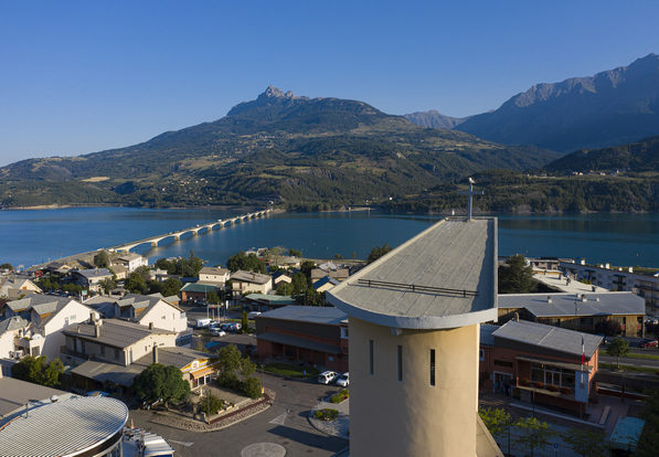
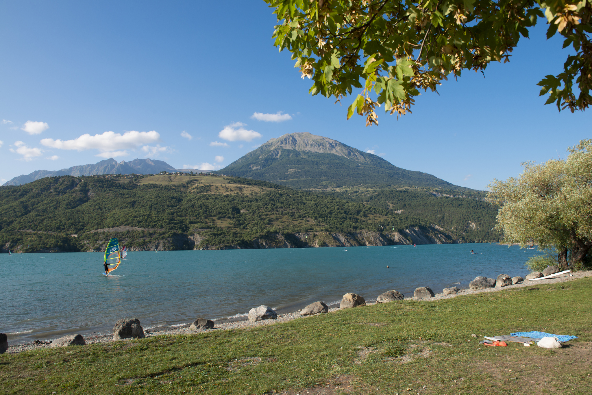
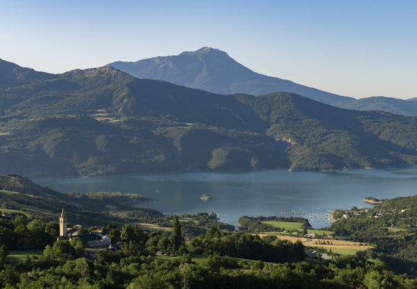
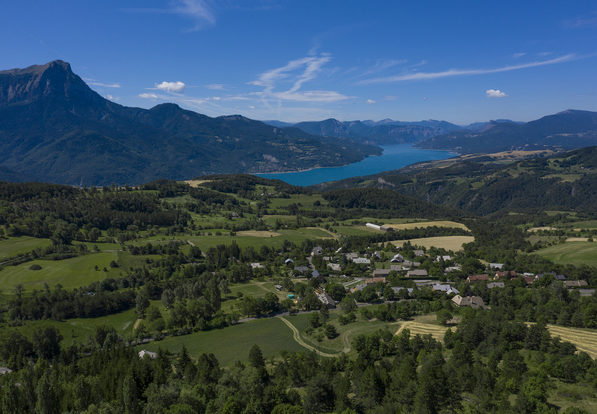
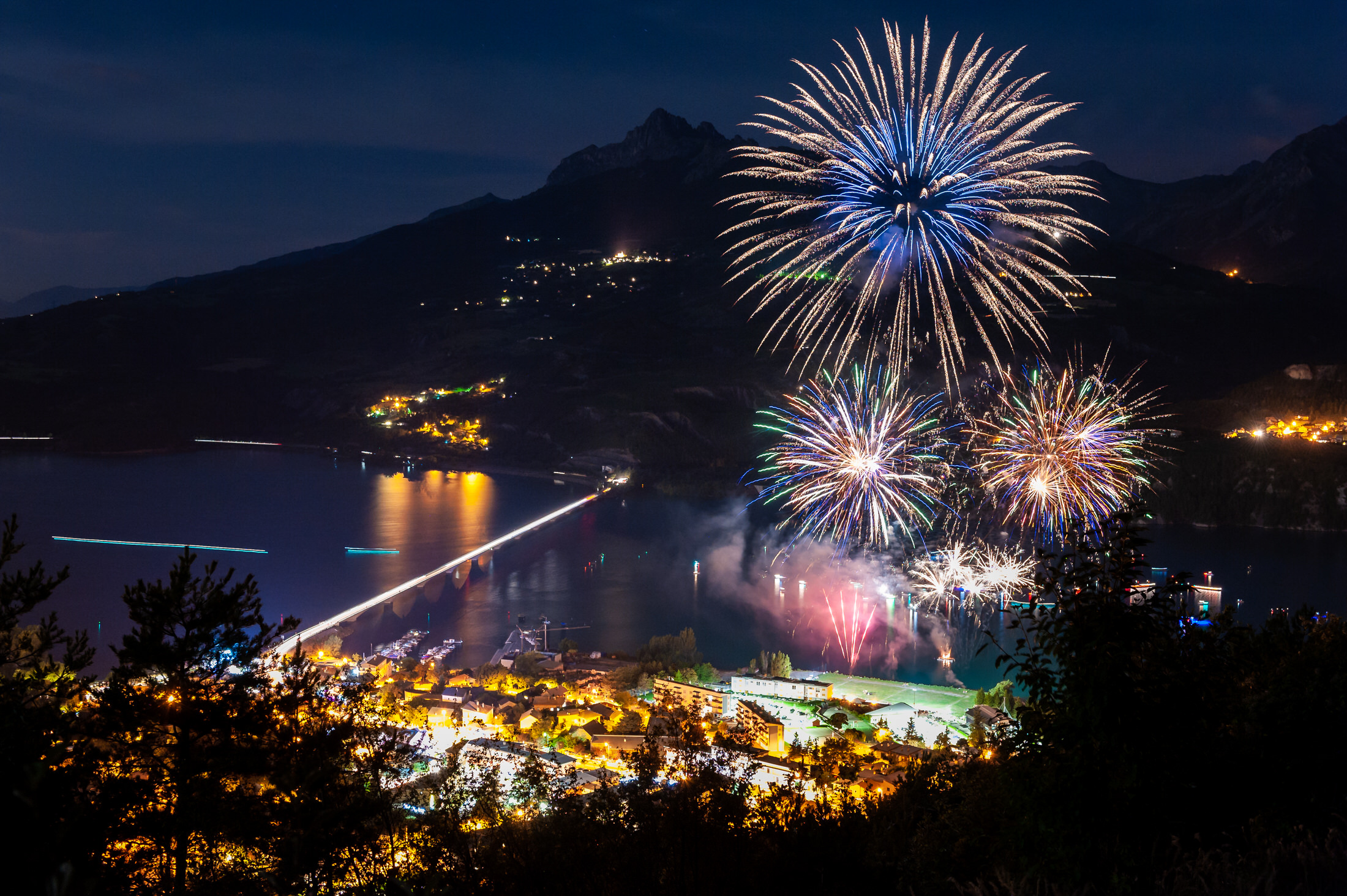
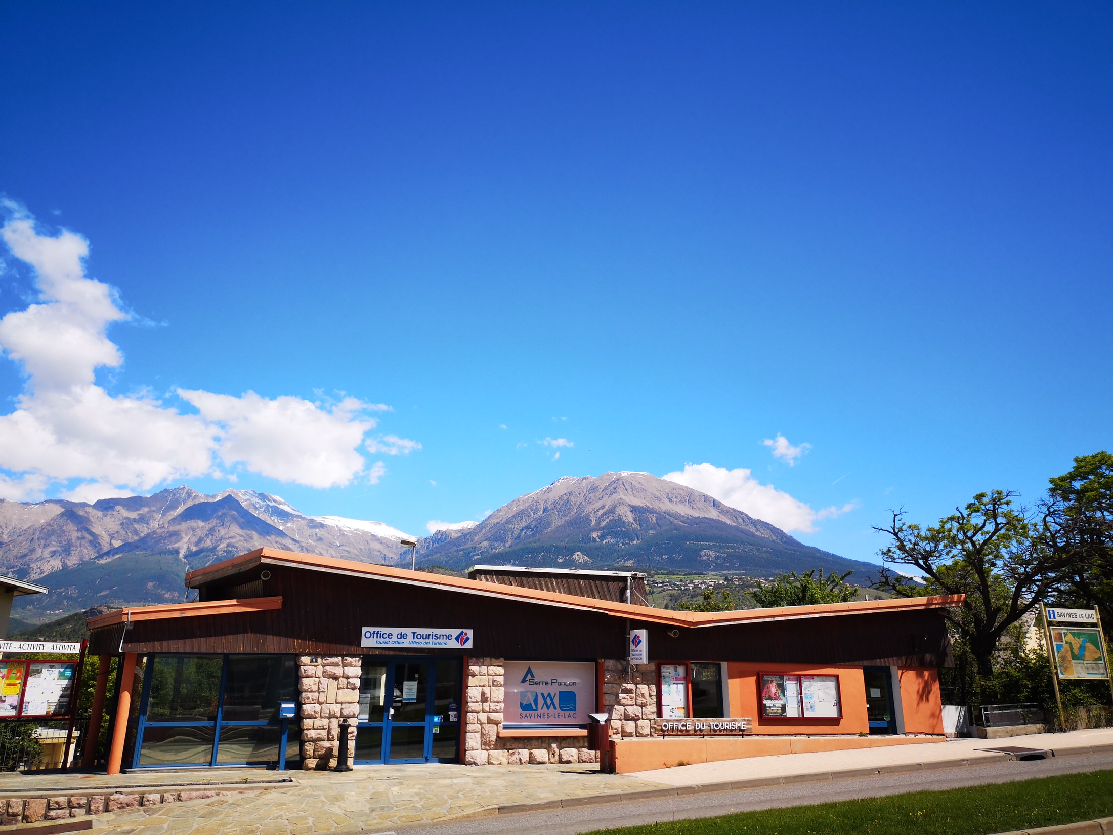
SAVINES-LE-LAC
Following the construction of the Serre-Ponçon dam, the village of Savines was destroyed, drowned when it was impounded and then rebuilt on the left bank to become Savines-le-Lac. Today, thanks to its central position on the lake, Savines-le-Lac is a full-fledged tourist resort, with a wide variety of activities. It has been awarded the "Station Verte" label and is a genuine port of Serre-Ponçon.
- Surface area: 2,513 hectares | Altitude: 800m | Postal code: 05160
- Names of inhabitants: Savinois / Savinoises
- Services: restaurants, accommodation, motorhome parks, Serre-Ponçon harbor master's office, 2 beaches in the immediate vicinity of the village center(Combette and Savin'Plage), market on Tuesdays and Fridays in summer.
- Labels: Pays d'Art et d'Histoire, Patrimoine XXe, Station Verte, Station Pêche, Pavillon Bleu, Ecrins National Park membership area.
- Hiking ideas: Belvédère de Pierre Arnoux, Pic du Morgon par Pierre Arnoux, La mère des fontaines.
- ♡ Natural and cultural points of interest: Saint-Florent church, Le Centre d'Interprétation d'Architecture et du Patrimoine (CIAP) at Pôle XXe, Serre-Ponçon lake

SAINT-ANDRÉ D'EMBRUN
The village is made up of some thirty hamlets, testifying to the agricultural organization of yesteryear. The Siguret lake, of glacial origin, is located above the village and is a natural area of ecological, faunistic and floristic interest.
- Surface area: 3,863 hectares | Altitude: 940m | Postal code: 05200
- What the natives are called : Saint-Andréens / Saint-Andréennes
- Services: restaurants, accommodation.
- Labels: Pays d'Art et d'Histoire
- Hiking tips: Tour of Lac de Siguret, Mont Orel
- ♡ Natural and cultural points of interest: Siguret lake, Saluces forest, Saint-André cellars
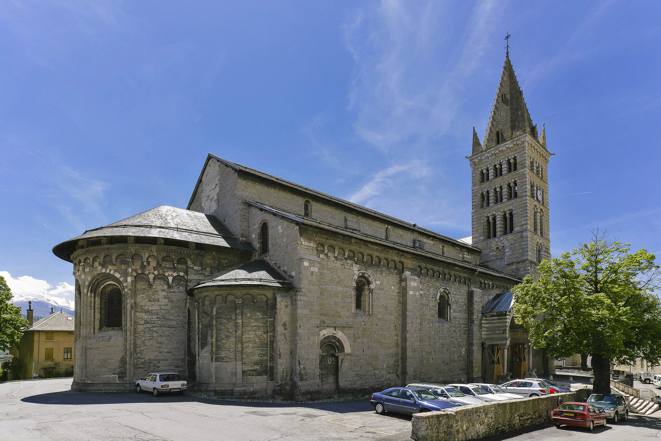
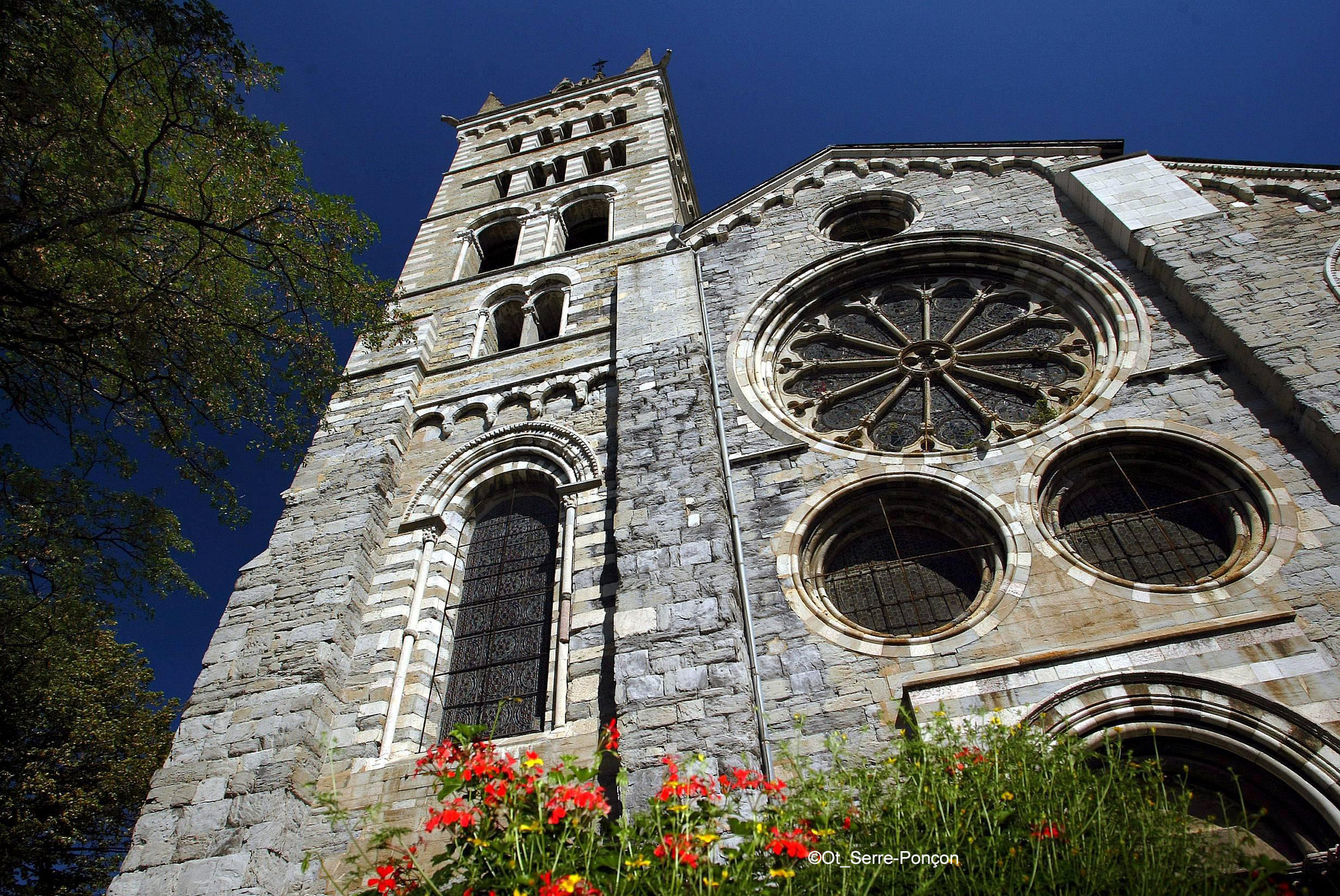
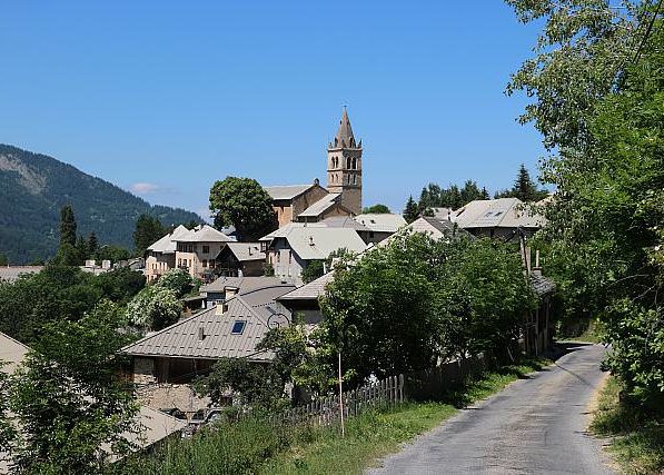
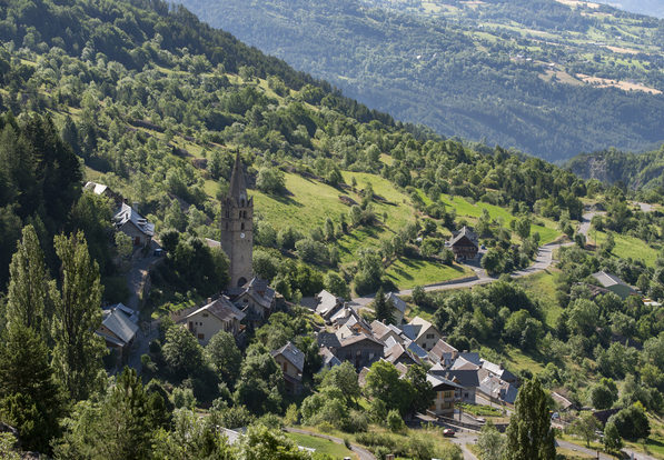
SAINT-SAUVEUR
The Church of the Transfiguration boasts admirable 15th-century frescoes, and the panorama from the forecourt is exceptional! An ideal picnic spot!
- Surface area: 2,418 hectares | Altitude: 1,250m | Postal code: 05200
- What the natives are called : Saint-savourins/ Saint-savourines
- Services: restaurants, accommodation.
- Labels: Pays d'Art et d'Histoire
- Hiking ideas: Le Méale
- ♡ Natural and cultural highlights: Church of the Transfiguration (frescoes)
www.saintsauveur-hautes-alpes.fr
LE LAUZET EN UBAYE
Nestling at the foot of the mountains, the village of Le Lauzet-Ubaye lies at the entrance to the Ubaye Serre-Ponçon Valley.
- Area: 66.26 km² | Altitude: 771 m | Postal code: 04340
- Names of inhabitants : Lauzetans
- Activities: Restaurants, rafting...
- Hiking ideas: The Costeplane waterfalls,
- ♡ Natural and cultural points of interest: Lac du Lauzet
ROUSSET
The commune is divided into two distinct parts: the village, above the Serre-Ponçon dam, and the second part, just below the dam.
- Area: 14.38 km2 | Altitude: 650 m | Postal code: 05190
- What the natives are called : Roussetiers and Roussetières
- ACtivities: Museoscope du Lac, Belvedere du Lac, APILAND, Maison de l'eau et des énergies
- Hiking ideas: The petrifying waterfalls of Remollon, the Demoiselles Coiffées de Théus, the Sapet forest
- ♡ Natural and cultural points of interest: Base nautique de Bois-Vieux, the lake's only floating pool!